
Update: Published online at the AVNews.
There are so many people on our streets and sidewalks; walking, cycling, jogging, rolling in motorized wheelchairs, or gliding along on a scooter. It makes me pine for a path that efficiently links the two ‘sides’ of our City. Yet there always has been one from the harbour to the highway.
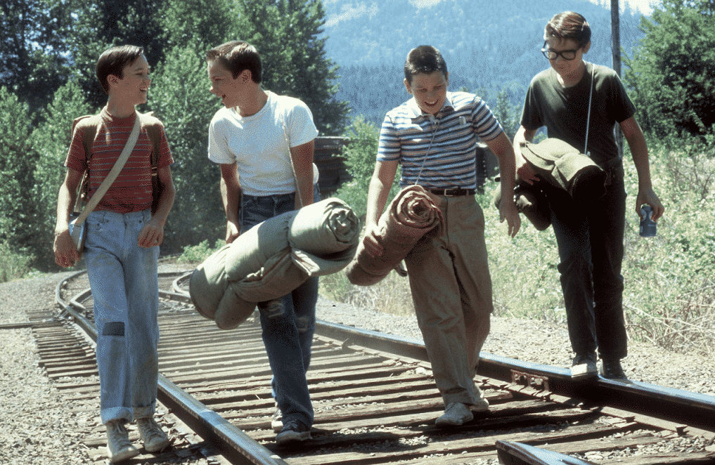
The railway tracks have been used as an un-official walking path for generations, including by me, walking between home and Alberni or Klitsa schools in the 1980s. I was constantly torn between being terrified of getting run over by a train as I hopped, Stand By Me-style, across the trestle and grateful that the shortcut meant I didn’t have to go up the endless Kitsuksis hill.
We have seen nearly every City on the Island work with the Island Corridor Foundation and Southern Railway to build paths alongside the tracks. It’s a win for the ICF because it gets people out of danger and liability, it’s a win for the City because it injects provincial and federal funds into aging infrastructure, and it’s a win for people, because it provides a straight and flat connection for all ages all the way from Compton to Argyle.
In time, the trail could extend all the way to McLean Mill, or even Beaver Creek road and Sproat Lake! We haven’t had a major walking path project in the City since the Dyke was completed over 30 years ago. It’s time.
